|
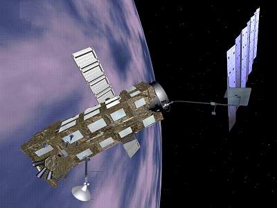 |
| Envisat
Satellite
| |
Overview
Envisat is an European Space Agency (ESA) satellite,
launch into orbit on March 2002, with the aim of
continuing data measurements of the ERS (ESA) Remote
Sensing Satellites. Envisat will provide measurements of
the atmosphere, ocean, land, and ice.
The main objectives of Envisat are:
To enhance and extend the range of measurements of
the ERS mission, especially the ocean and ice mission.
To support the monitoring and studying of the
Earth's environment and climate changes.
To make a significant contribution to environmental
studies, notably in the area of atmospheric chemistry
and ocean studies (including marine biology).
Envisat Related Link:
|
